
BUSINESS UNIT:
Geographical Information System (GIS)
Mhandisi Consultancy has a computer system for capturing, storing, checking, and displaying data related to positions on Earth’s surface. We can help individuals and organizations better understand spatial patterns and relationships which is a crucial part of spatial data infrastructure.

Our Capabilities:
- GIS and IT
- 3D visualisation and modelling
- Mapping and data capture
- Surveying
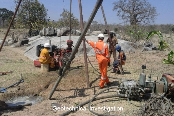
Topographical Survey and Geotechnical Investigation includes:
- Detailed topographical Survey
- Processing survey data and preparation of Digital Terrain Model (DTM)
- Preparation of Base map
- Soils and Material Investigation
- Geotechnical Investigation


